Contents
- 🌍 What Are Meridians, Really?
- 📍 The Prime Meridian: A Global Anchor
- 📏 Measuring East and West: Longitude Explained
- 🗺️ Meridians in Navigation: From Stars to Satellites
- 💡 Beyond Geography: Meridians in Culture & Science
- 🤔 The Meridian Debate: Where Do We Draw the Line?
- ✨ Meridians in Practice: Tools and Techniques
- 🚀 The Future of Meridian Mapping
- Frequently Asked Questions
- Related Topics
Overview
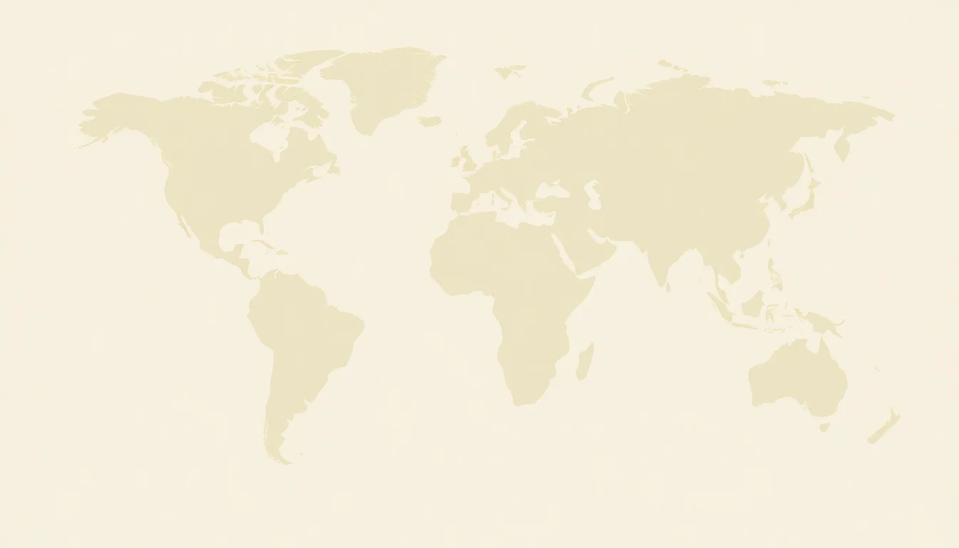
Meridians, at their most fundamental, are imaginary lines of longitude that circle the Earth, connecting the North and South Poles. Think of them as slices of an orange, each representing a specific degree of angular distance east or west of a reference point. While we often focus on the prime meridian as the zero point, every point on Earth lies on its own unique meridian. These lines are crucial for understanding our planet's geometry and for any system of global positioning, from ancient celestial navigation to modern GPS technology. Without them, coordinating any global activity, from shipping routes to international time zones, would be an insurmountable challenge.
📍 The Prime Meridian: A Global Anchor
The prime meridian, designated as 0° longitude, is the foundational meridian from which all other longitudes are measured. Historically, its location has been a matter of convention and international agreement, with the Greenwich Meridian in London, England, being the most widely accepted since 1884. This specific line, passing through the Royal Observatory, Greenwich, became the de facto standard due to Britain's maritime dominance at the time. It's not a physical line etched into the landscape but a globally recognized reference point, essential for synchronizing time and mapping the globe accurately. Its establishment was a monumental step in standardizing cartographic conventions.
📏 Measuring East and West: Longitude Explained
Longitude, measured in degrees, minutes, and seconds, quantifies a location's east-west position relative to the prime meridian. Each meridian represents a specific degree of longitude, with values increasing eastward and westward up to 180°. Traveling along a meridian means you are moving directly north or south, maintaining a constant longitude. Conversely, moving east or west means crossing multiple meridians. Understanding this distinction is vital for anyone engaging with geographic coordinates or interpreting maps, as longitude, alongside latitude, defines a precise point on the Earth's surface. The antipodal point to Greenwich, for instance, lies on the 180th meridian.
💡 Beyond Geography: Meridians in Culture & Science
Meridians extend beyond pure geography, influencing cultural and scientific concepts. The International Date Line, for example, roughly follows the 180th meridian, dictating the change of calendar day across the Pacific Ocean. In traditional Chinese cosmology, meridians are also central to acupuncture and traditional Chinese medicine, referring to invisible energy pathways within the body. While geographically distinct, the concept of an invisible, organizing grid resonates across different knowledge systems, highlighting a human inclination to map and understand unseen structures. This cross-disciplinary relevance underscores the enduring power of the meridian concept.
🤔 The Meridian Debate: Where Do We Draw the Line?
The choice of the prime meridian at Greenwich was not universally accepted without debate. Historically, various nations proposed their own prime meridians, often passing through their capital cities or significant astronomical observatories. The adoption of Greenwich was largely a pragmatic decision driven by the need for a single, global standard for navigation and communication, particularly with the rise of telegraphy and international timekeeping. However, the debate over geodetic datums and the precise definition of the Earth's shape continues, influencing the exact placement of meridian lines in modern geodetic surveys.
✨ Meridians in Practice: Tools and Techniques
Navigating with meridians today involves sophisticated tools. GPS receivers, smartphones with location services, and specialized surveying equipment all utilize meridian data. GIS software allows for the visualization and analysis of data based on longitude and latitude. For those interested in historical methods, sextants and chronometers are still used, though primarily for educational purposes or in niche historical reenactment communities. Understanding how these tools interact with the Earth's coordinate system is key to their effective use.
🚀 The Future of Meridian Mapping
The future of meridian mapping is increasingly tied to advancements in geodesy and satellite technology. High-precision satellite laser ranging and the development of new geodetic datums are refining our understanding of the Earth's shape and the exact placement of meridians. As we deploy more sophisticated sensor networks and explore other celestial bodies, the concept of meridians may even extend beyond Earth, aiding in the mapping of planetary exploration. The ongoing quest for greater accuracy will continue to shape how we define and utilize these fundamental lines.
Key Facts
- Year
- -2000
- Origin
- Ancient Greece (concept of longitude)
- Category
- Geography & Cartography
- Type
- Concept
Frequently Asked Questions
What is the difference between a meridian and a parallel?
Meridians are lines of longitude that run north-south, connecting the poles, and measure east-west position. Parallels are lines of latitude that run east-west, parallel to the equator, and measure north-south position. Together, they form the geographic coordinate system used to pinpoint any location on Earth.
How many meridians are there?
Theoretically, there are an infinite number of meridians, as they can be drawn at any degree of longitude. However, for practical purposes, we typically divide the Earth into 24 main meridians for time zones, and use degrees, minutes, and seconds for precise location mapping, allowing for 360 distinct degrees of longitude.
Is the Prime Meridian a physical line?
No, the prime meridian is an imaginary line, a reference point agreed upon by international convention. While the line passes through the Royal Observatory in Greenwich, London, there is no physical marker along its entire path across land and sea. Its significance is purely cartographic and temporal.
How did ancient civilizations determine longitude?
Ancient civilizations had significant difficulty determining longitude accurately. Methods involved observing celestial bodies like the moon and stars, and comparing local time with a known reference time, often using lunar distances or rudimentary clocks. This was a major challenge until the development of accurate marine chronometers in the 18th century.
What is the significance of the 180th meridian?
The 180th meridian, located opposite the prime meridian, is significant because it forms the basis for the International Date Line. Crossing this line, either east or west, results in a change of calendar day, though the line itself deviates in places to avoid splitting landmasses and creating calendar confusion within countries.
How does GPS use meridians?
GPS receivers calculate a user's position by triangulating signals from multiple satellites. This calculation inherently determines both latitude and longitude, with longitude being the east-west measurement relative to the prime meridian. The system relies on precise atomic clocks and orbital data to provide these coordinates.